02
Drone/UAV Surveying
Flying survey grade drones with LiDAR or photogrammetric sensors to collect large and possibly inaccessible areas quickly
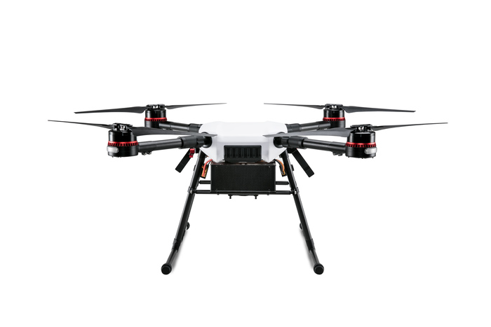
Drone/UAV Surveying
Drone surveying
Ref
02
Use
Cover large or hard-to-reach areas.
Notes
UAV
Service sheet · Drone/UAV SurveyingRef 02
Scope
What this covers
Flying survey grade drones with LiDAR or photogrammetric sensors to collect large and possibly inaccessible areas quickly
Related
Related work
No project on the current site is tagged to this service yet.