Plant Engineering & Geomatic Services
Surveying, simplified.
PEGS is a full service 3D laser scanning firm. We specialize in capturing reality using LiDAR and converting LiDAR data into engineering grade deliverables.
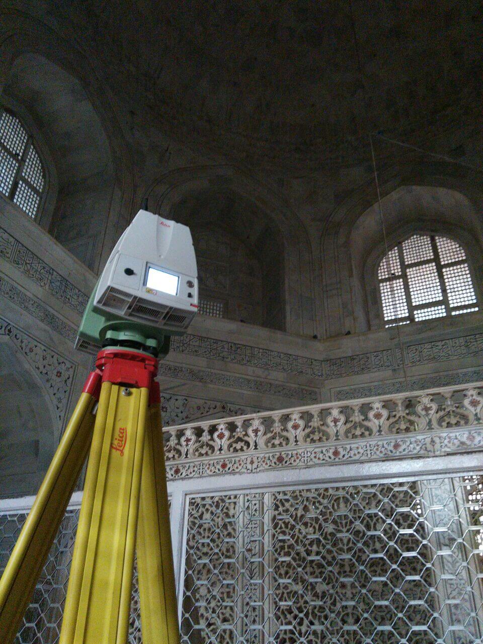
Fig. 01, Taj Mahal
India · Heritage
PEGS
The Taj Mahal.
We had the honor to scan this monument.
Projects153Total, as claimed on the current Pegs site
Engineers23On the current Pegs site
Countries21On the current Pegs site
Since2009Founded in India
Work
Recent projects
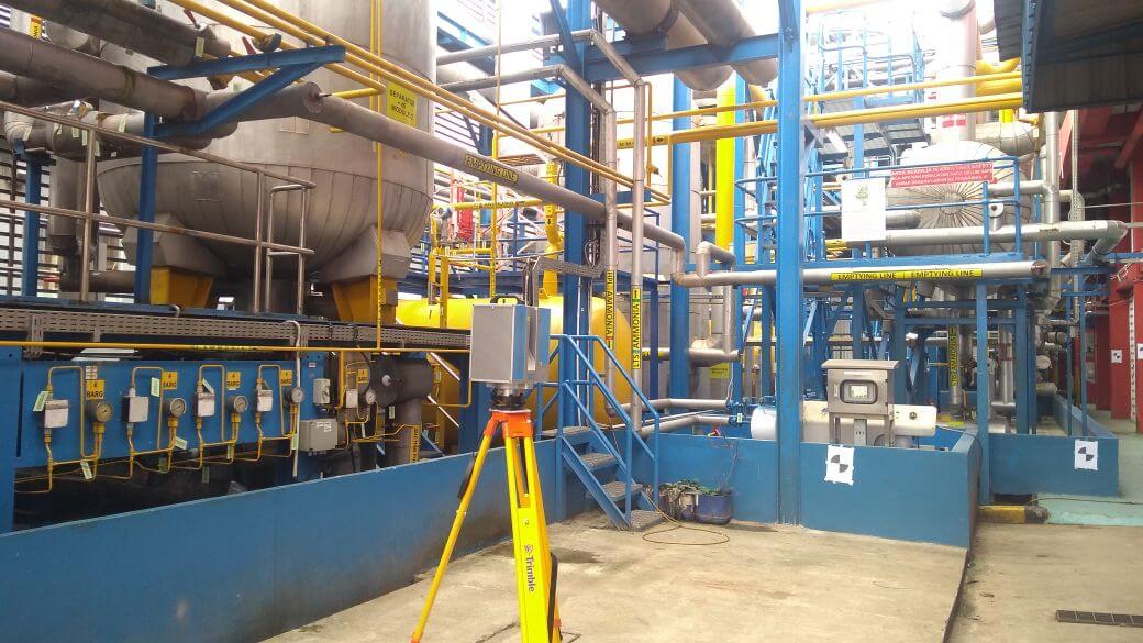
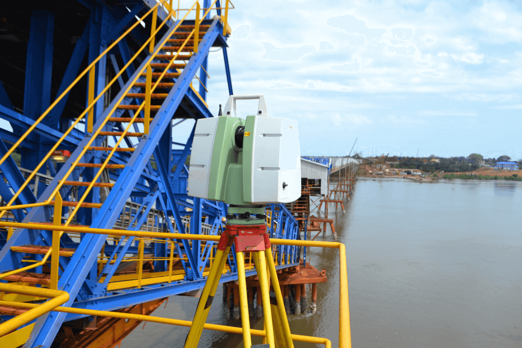
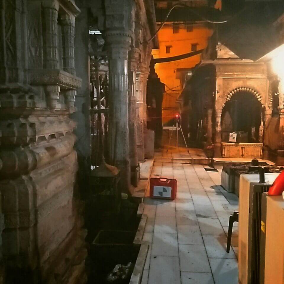
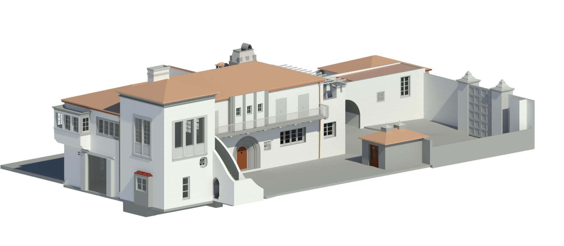
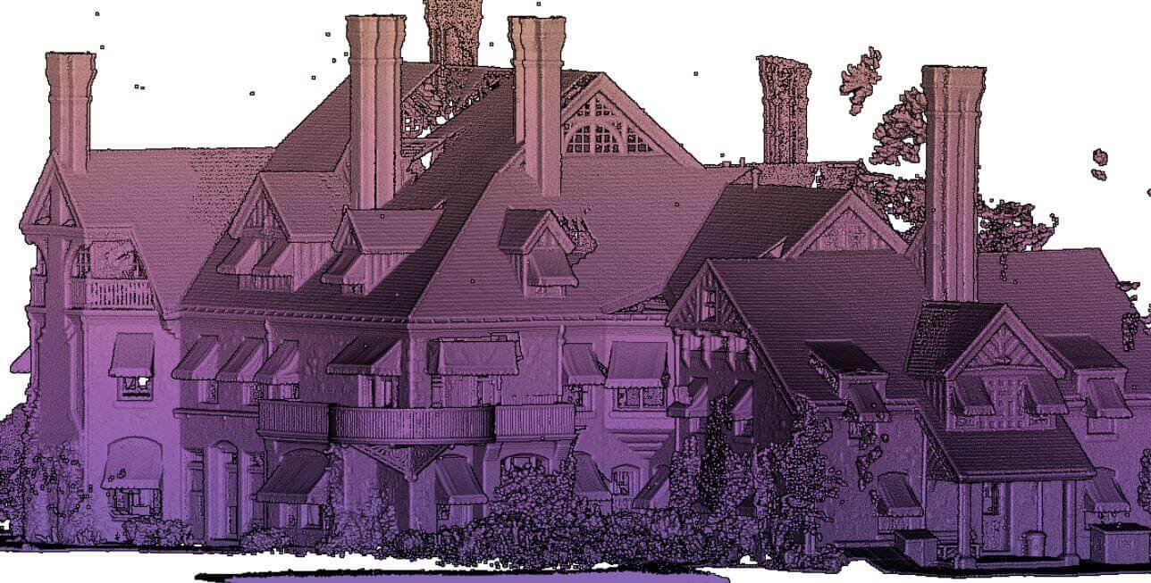
Expertise
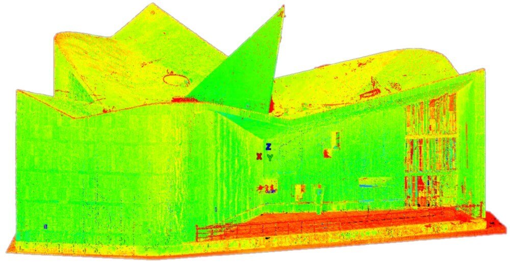
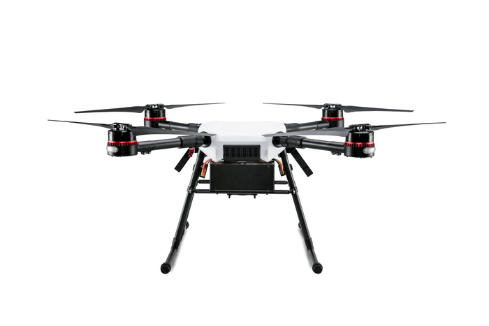
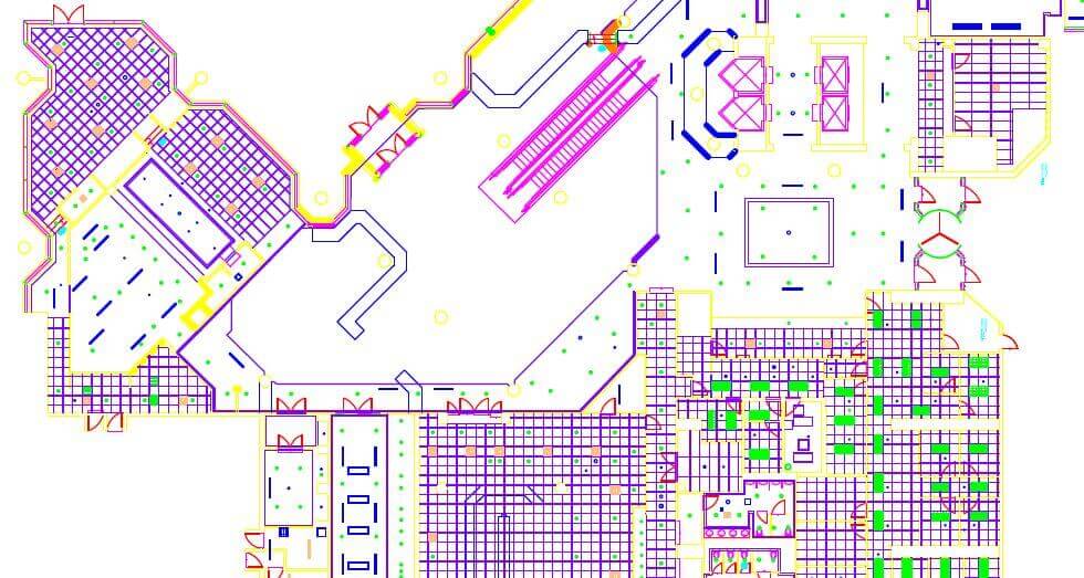
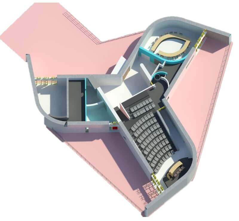
These are some of our expertise
Clients
Clients
Names from the current Pegs site. Filter this list before any production merge.























FAQ
Frequently asked questions
What is your turnaround?
[DRAFT — Aneesh to confirm real turnaround time.]
What does a project cost?
[DRAFT — Aneesh to confirm real pricing approach.]
Where are you based?
[DRAFT — Aneesh to confirm final wording.] A-06 Infocity, Sector 34, Gurgaon, India.
What software and hardware do you work with?
[DRAFT — Aneesh to confirm final wording.] Leica, Riegl, Faro, and Trimble hardware; Cyclone, AutoCAD, Revit, 3DSmax, Geomagic, and more.
Do you handle aerial as well as terrestrial capture?
[DRAFT — Aneesh to confirm final wording.]
Will the work hold up against my client's QA?
[DRAFT — Aneesh to confirm real answer.]